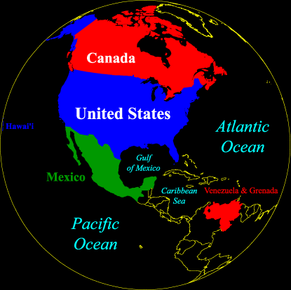
Western Hemisphere:
|
I managed to travel a bit in my first four decades, and when I traveled, I took a camera. I've shot a hell of a lot of film in a hell of a lot of places, and I've wanted to share some of that with the rest of the world via the Web.
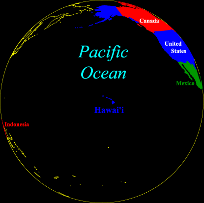
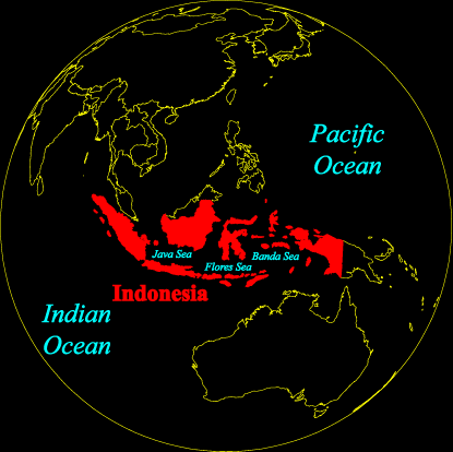
Thus far, my wanderings have taken me through 49 states and the District of Columbia, large swaths of Canada, Mexico and Indonesia, coastal and island portions of Venezuela and Grenada.
I first put my photographs of Indonesia online back in 1996. For a number of years, I either didn't have the time or equipment to scan my thousands of slides. Now I have the equipment, but time is still a problem. Nevertheless, I will add stuff as I can.
To explore my photography, pick a hemisphere map (North America and Carribbean Sea, Northern and Central Pacific, or Southwest Pacific Region)and select a site by clicking on the appropriate portions of the maps below, or choose from a list of sites below each map.
Return to the fuzzo.com home page.
Questions? Comments? E-mail me.